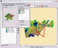
Command for ArcMap to visualize ArcMap layers in 3D.
ET GeoTools improves the editing capabilites of ArcGIS.
ArcGIS extension with geospatial analysis capabilities for mlitary applications.
You can view an image service using various client applications.
It is a plug-in that provides interoperability between AutoCAD and ArcGIS.